
Southward Bound: From Cape Perpetua to Cape Blanco
This post is part of a series documenting my relocation road trip from Seattle to my new home in the San Francisco Bay Area.
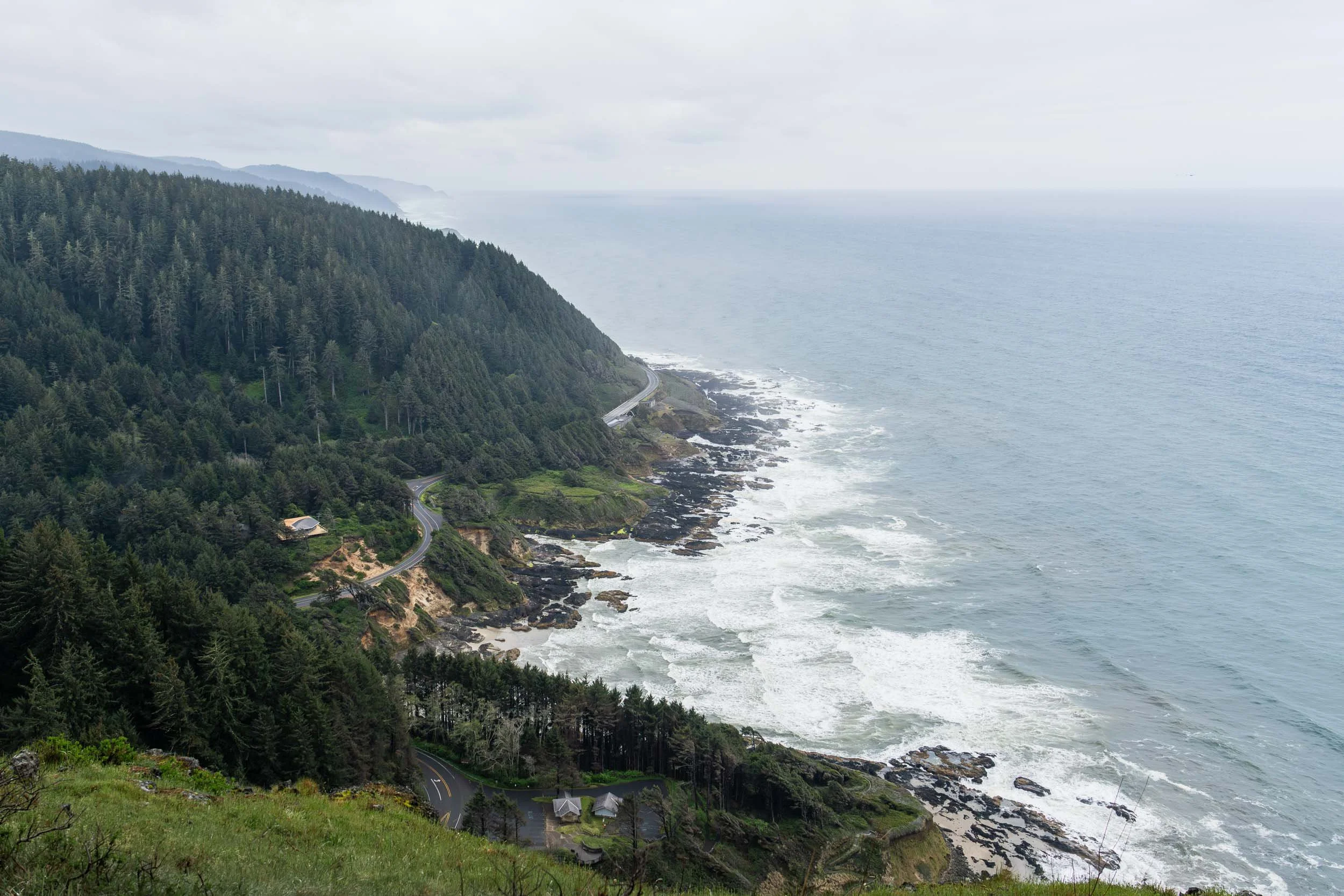
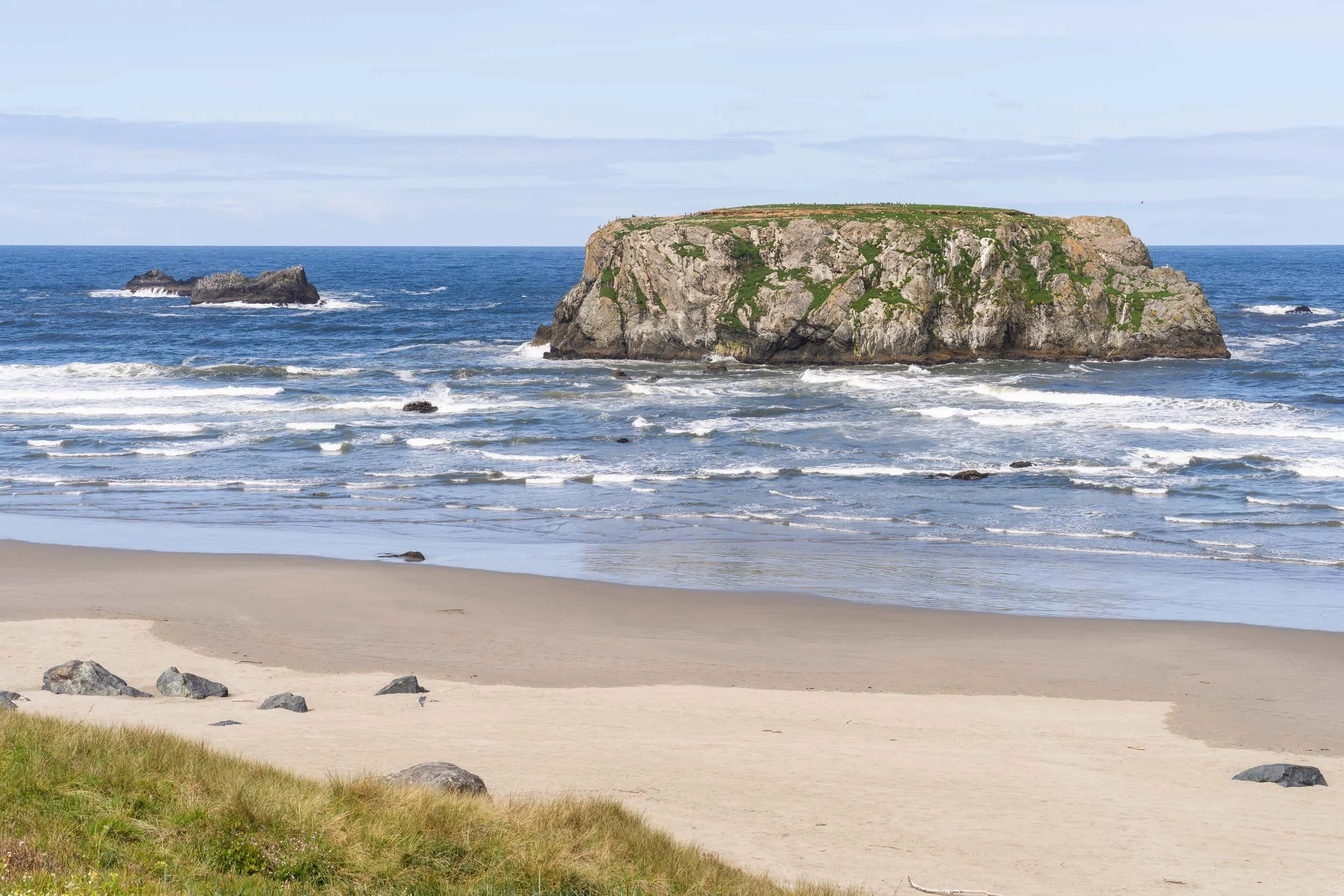
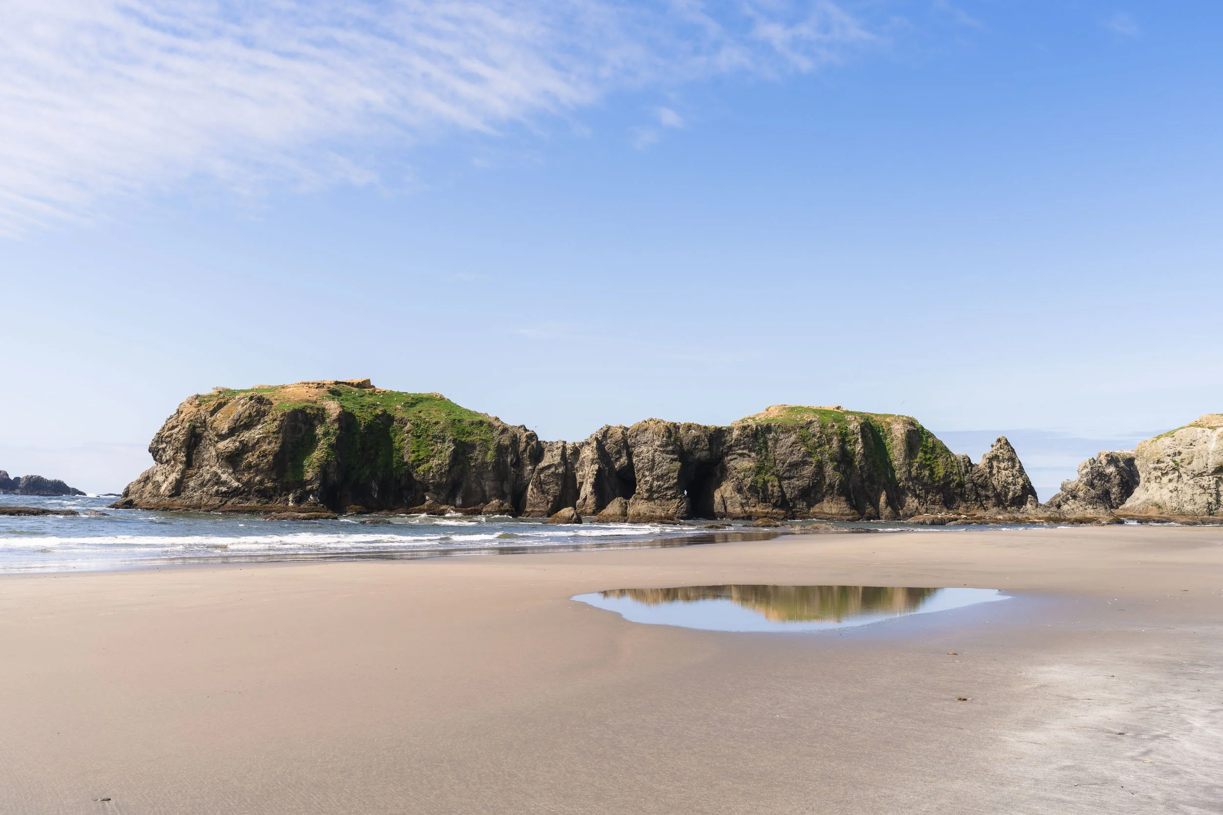
Cape Cove Beach from Cape Perpetua Overlook, Oregon
On the morning of Day 3, I set off for the Cape Perpetua Overlook, determined to photograph the coastal beauty despite the light drizzle and overcast skies. The overlook provides incredible views of Cape Cove Beach below, a quiet spot where Cape Creek connects to the sea. Clouds floated in and out of the evergreens, creating a mesmerizing dance that paired well with my morning coffee.
The summit is home to the West Shelter, a stone structure built by the Civilian Conservation Corps in the 1930s as an observation point. During WWII, its purpose shifted from recreation to national defense; it served as a coastal watch station and was equipped with a radar facility and a large defense gun. Today, the shelter is listed on the National Register of Historic Places, preserving the history of its wartime importance.
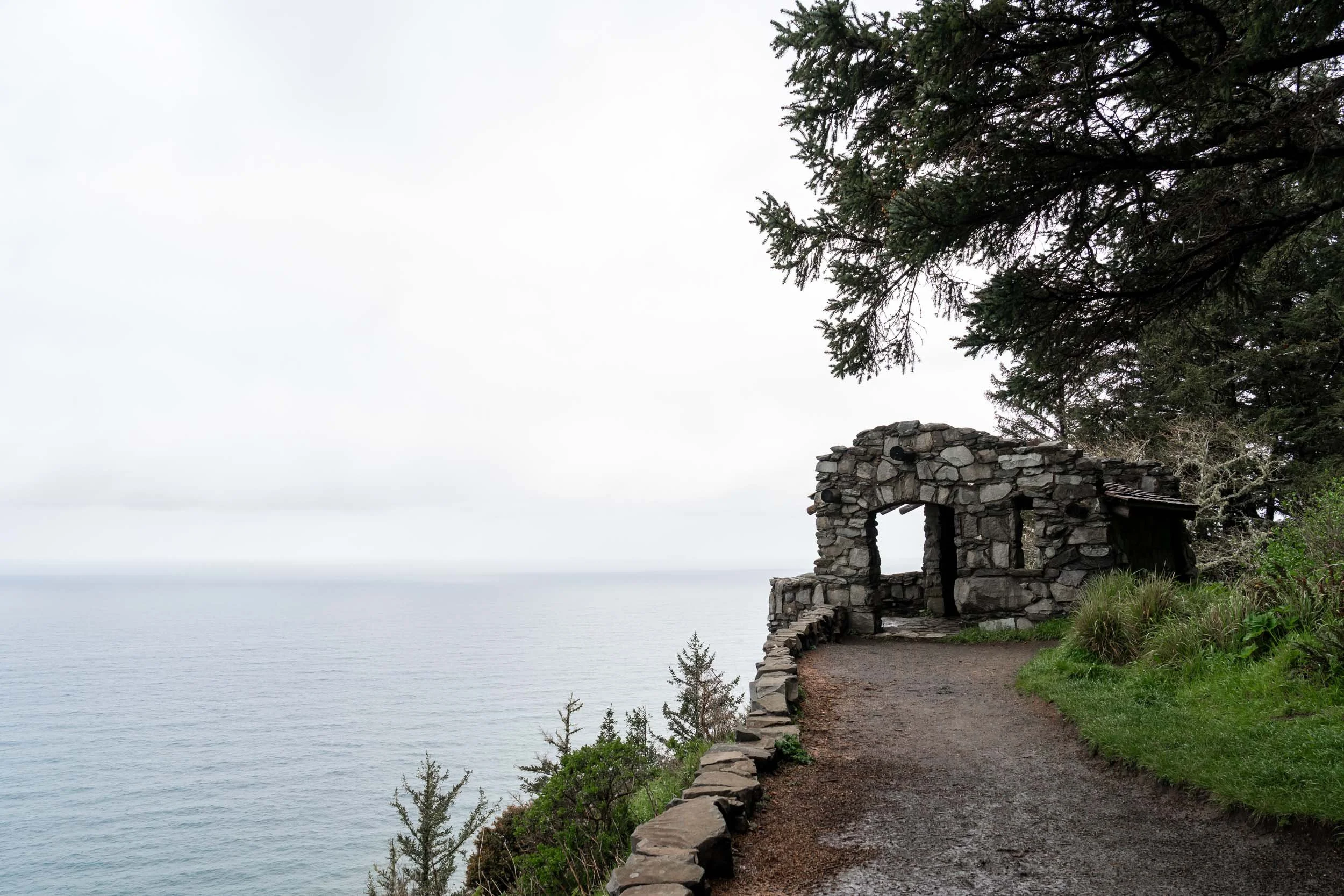
West Shelter Cape Perpetua Overlook, Oregon - National Historic Place
Just past the shelter, I caught sight of a bird out of the corner of my eye. Once it became more visible, I realized it was a pair of eagles soaring high above the beach, but just below the summit of the overlook. I snapped rapidly, capturing a few images before they flew out of sight.
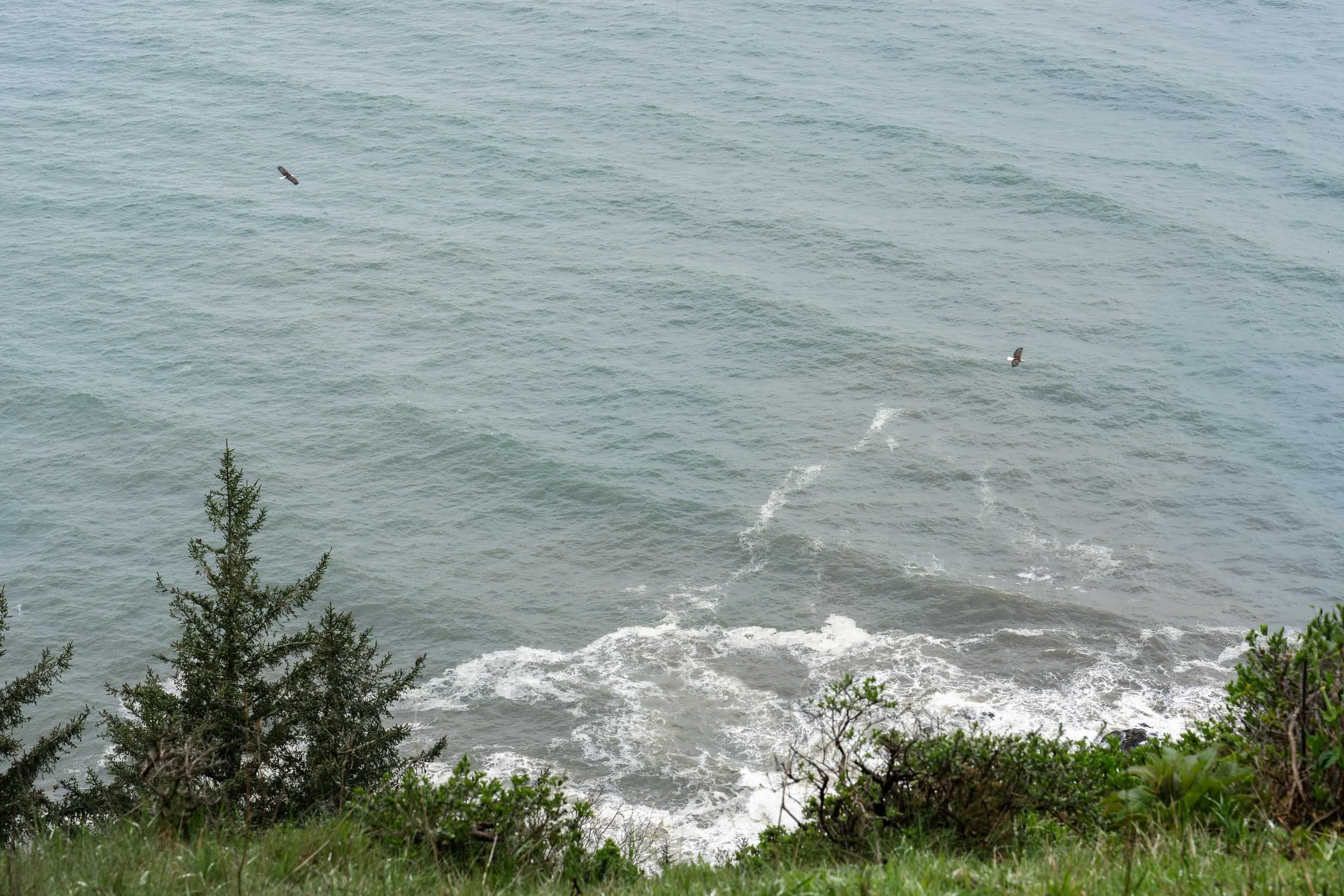
Pair of Bald Eagles at Cape Perpetua Overlook, Oregon
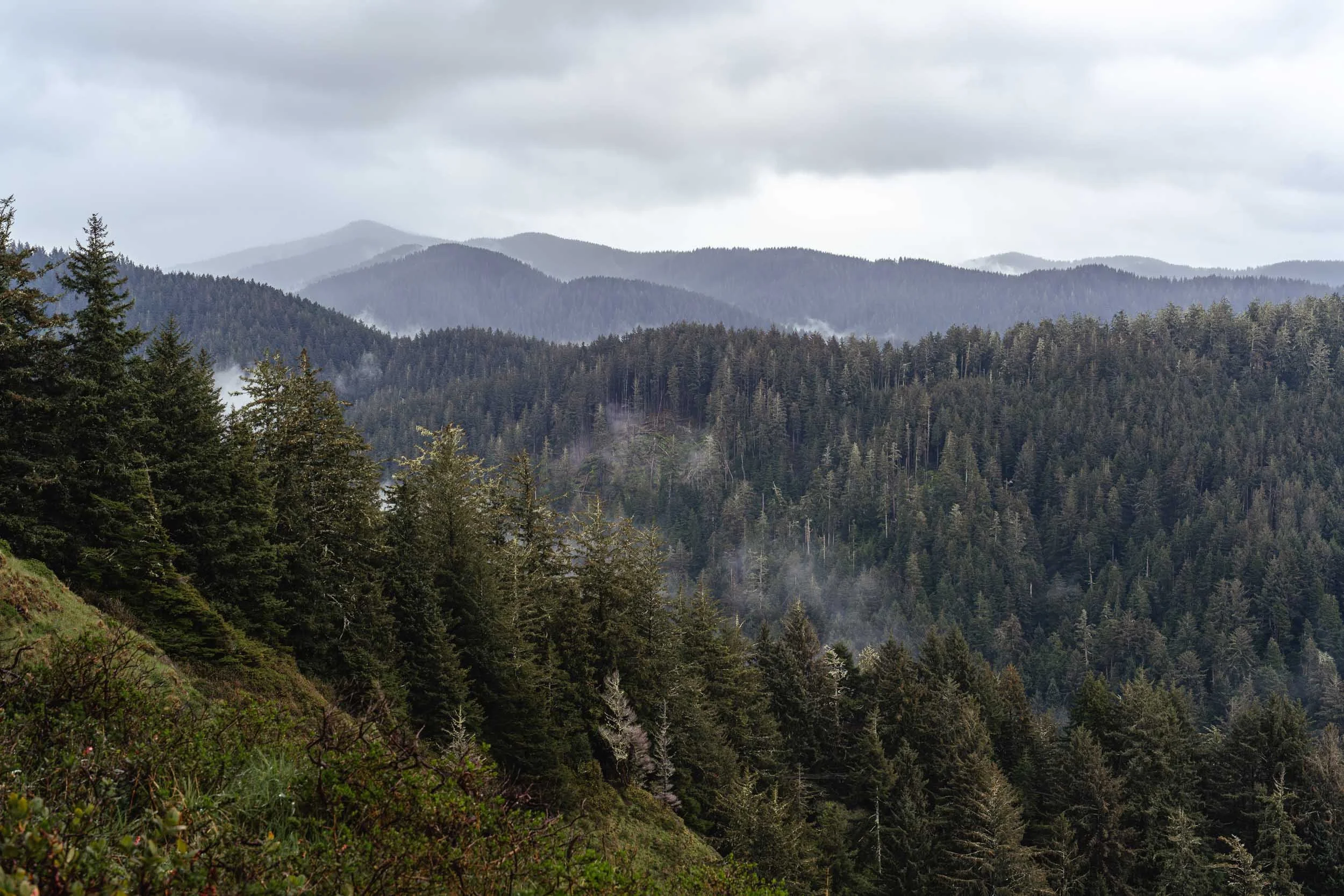
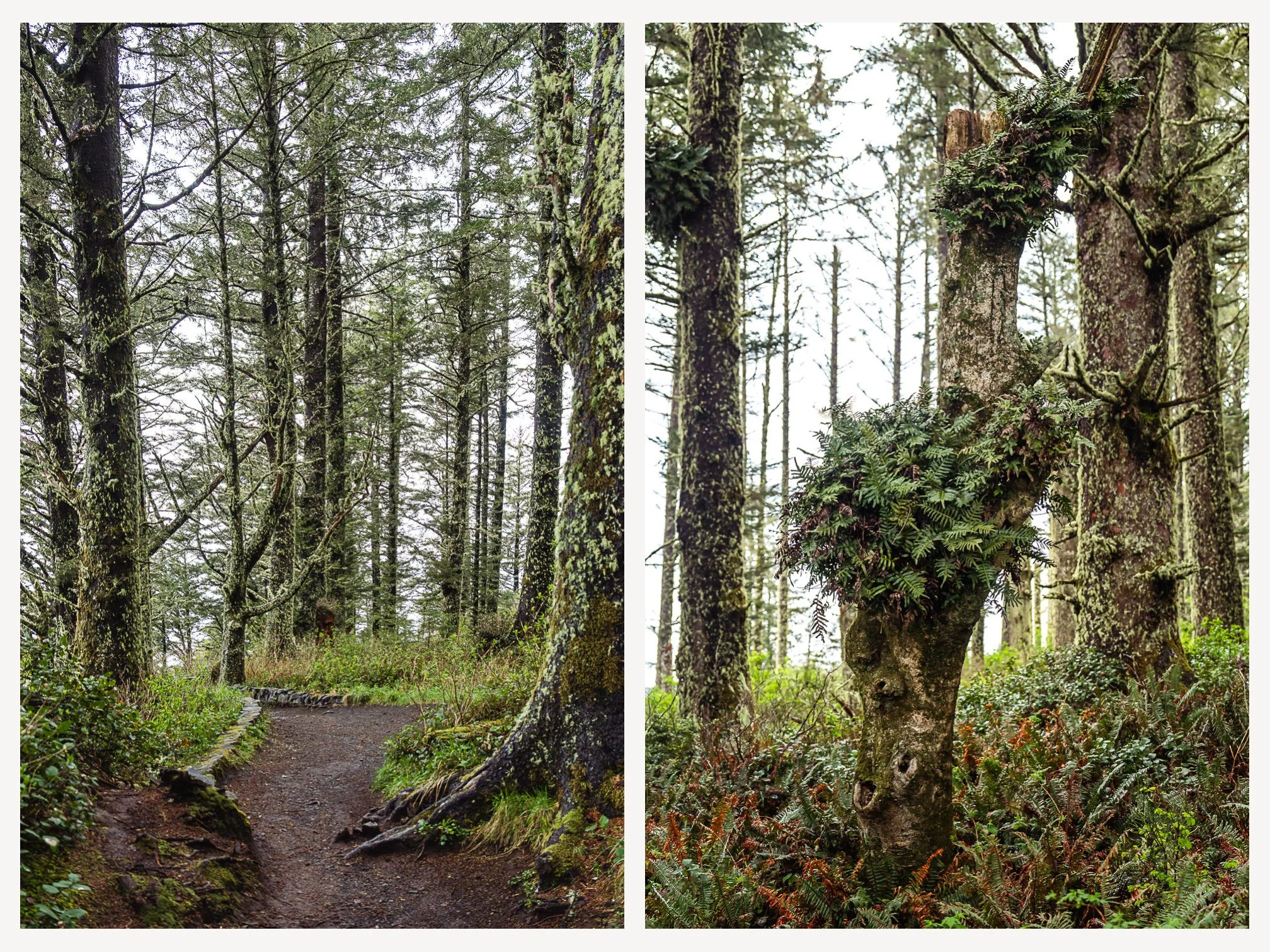
Even with the incredible view of the coastline, the history of the stone shelter, and the sighting of the eagles, the forest might have been my favorite part of this stop. The rich color of the soil contrasted beautifully with the shades of green filling in the canopy.
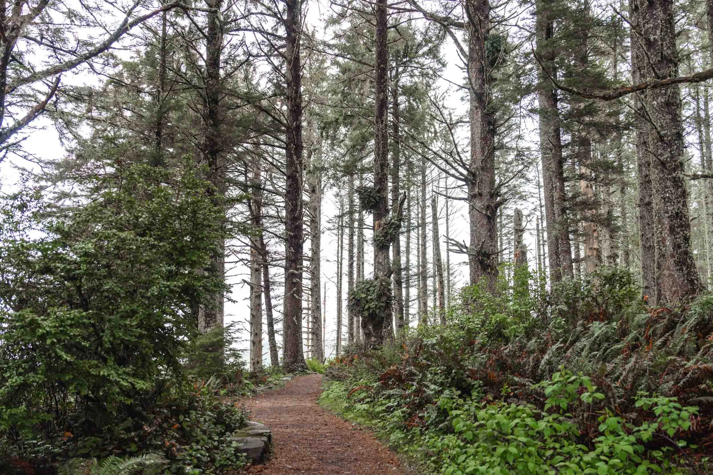
Forest trail at Cape Perpetua Overlook, Oregon
After my coffee was long finished, I dragged myself back into the truck to start the day’s drive. The tides weren’t right for a visit to Thor’s Well, but I pulled off to catch sight of one of the smaller “wells” nearby.
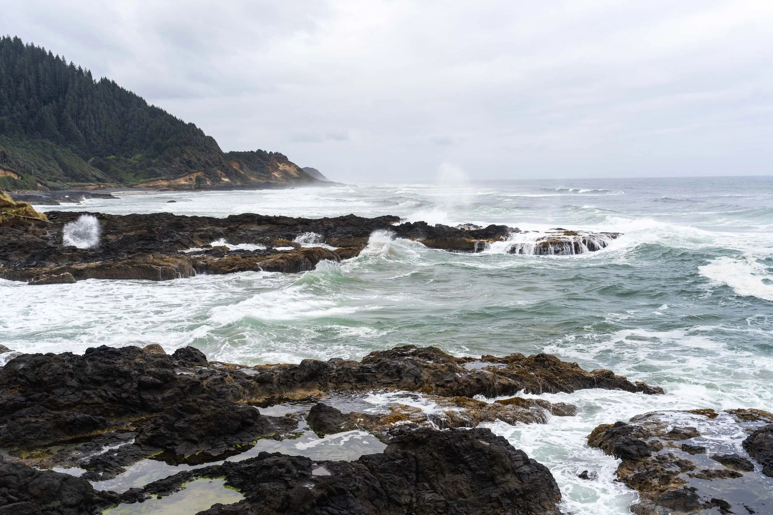
Wells at Cape Perpetua, Oregon
My next stop offered an incredible view of the Heceta Head Lighthouse. Given the weather, I opted for a roadside view rather than taking the half-mile walk to the tower. Maybe on my next road trip, I can stay at the assistant lightkeeper’s house, which now operates as a boutique bed and breakfast.
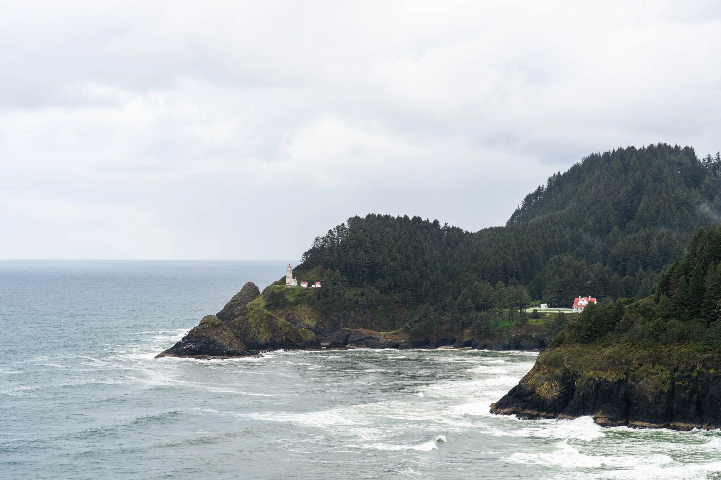
Heceta Head Lighthouse, Oregon
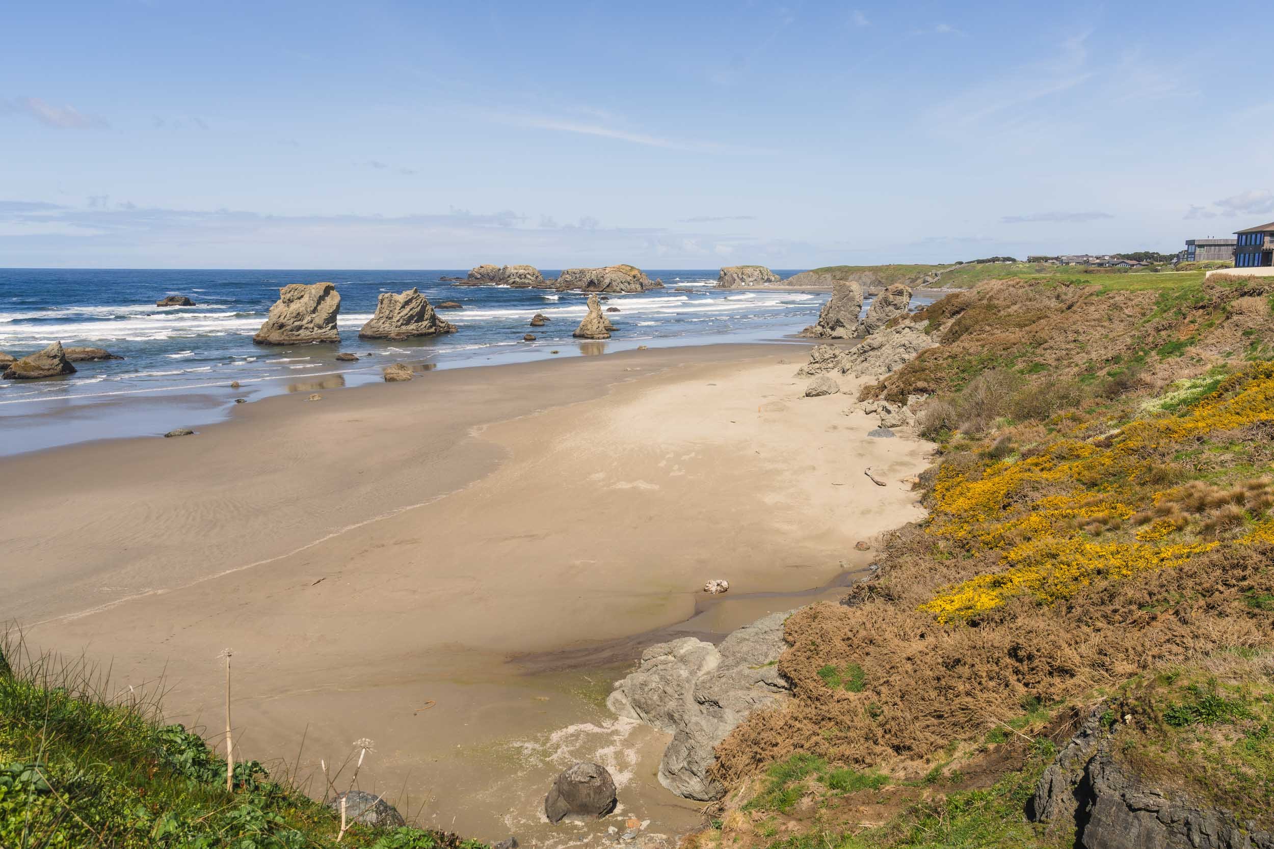
One of my favorite coastal views lay just ahead as I neared the Oregon Dunes. A landscape that looked the most like “home” of any I have seen on the West Coast, these massive sand dunes dwarf our beloved Jockey’s Ridge. Towering up to 500 feet and stretching for 40 miles, they are some of the largest temperate coastal sand dunes in the world.
I was particularly struck by the beautiful yellow flowers growing throughout the dunes. However, I learned that this plant, known as Gorse, is a highly invasive noxious weed. Despite its beauty, it is dangerously flammable due to its high oil content; it was responsible for the fire that destroyed the town of Bandon in 1936- my lunch time destination.
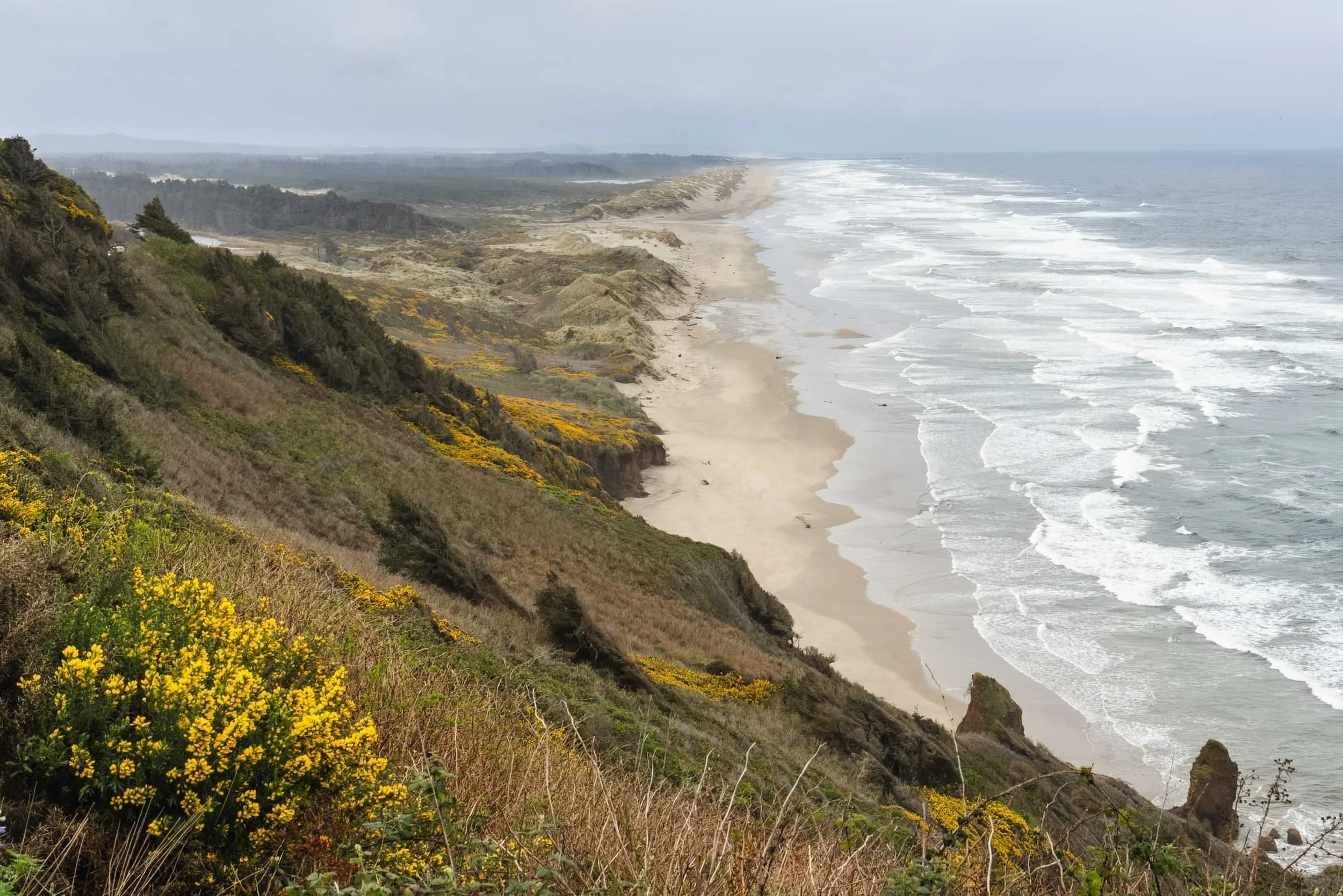
View of Oregon Dunes Shoreline
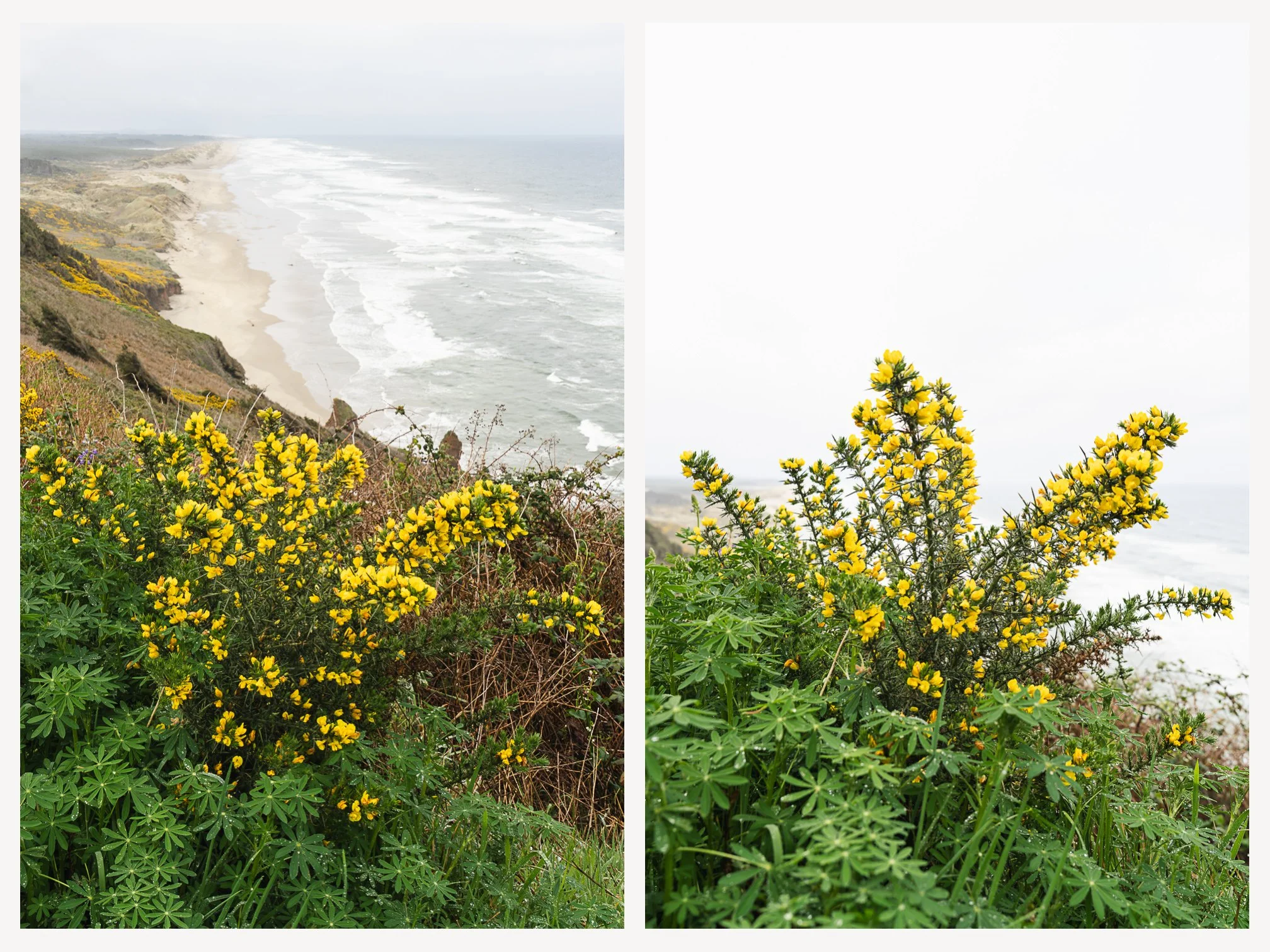
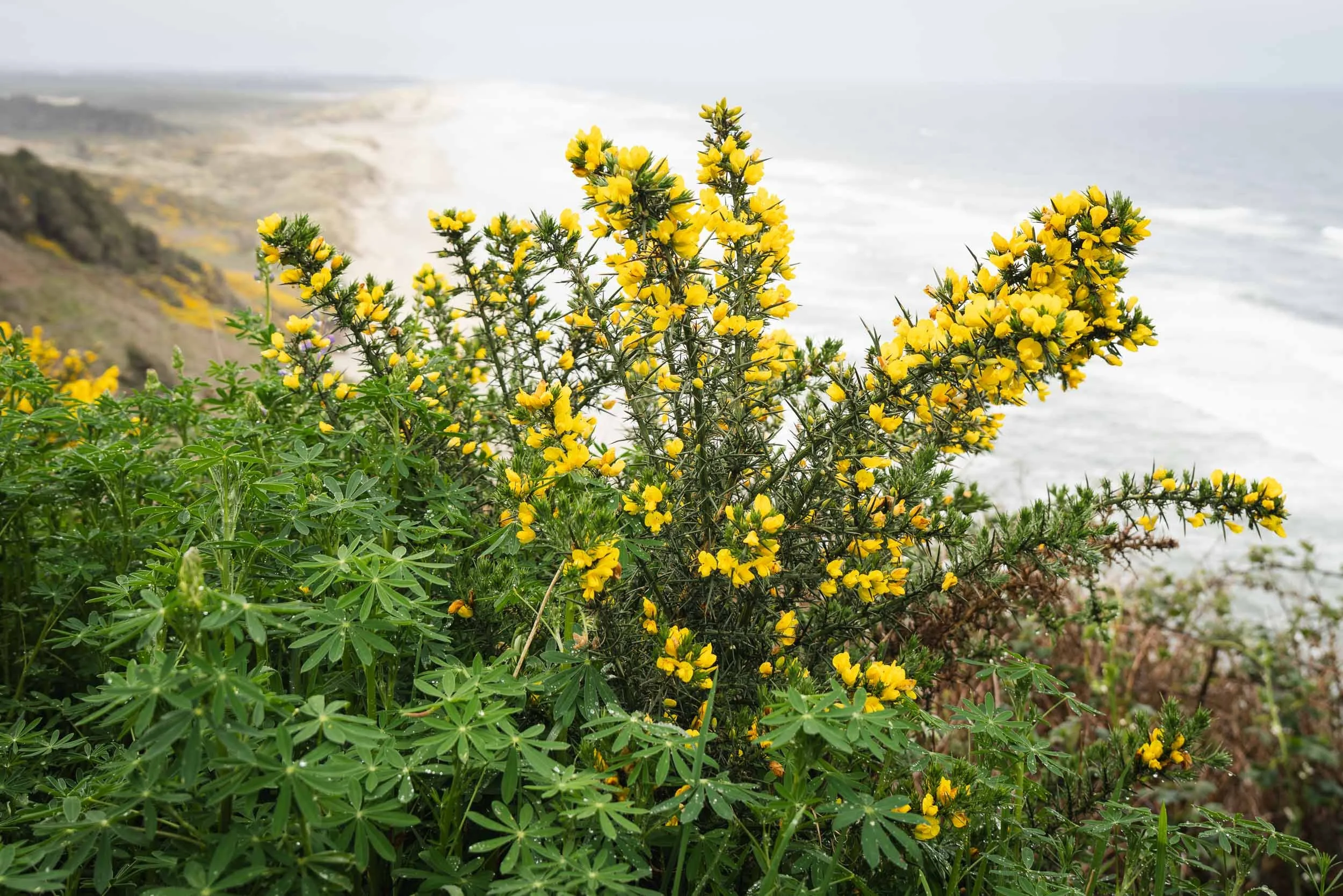
Gorse at Oregon Dunes
I am a big fan of Visitor Centers. I love browsing brochures of the activities and sights nearby, chatting with enthusiastic volunteers, and finding off the wall places to visit. My first stop after arriving in Bandon Beach was at their charming visitor center where I was met with a not-so-charming volunteer. When I asked for suggestions on things to see/do/eat/etc, she told me that “it wasn’t really a good time of year to visit.” I’m no expert, but I’m pretty sure that’s the exact opposite thing that the town’s Chamber of Commerce would want her to say. Not to be deterred, I set off to explore blindly.
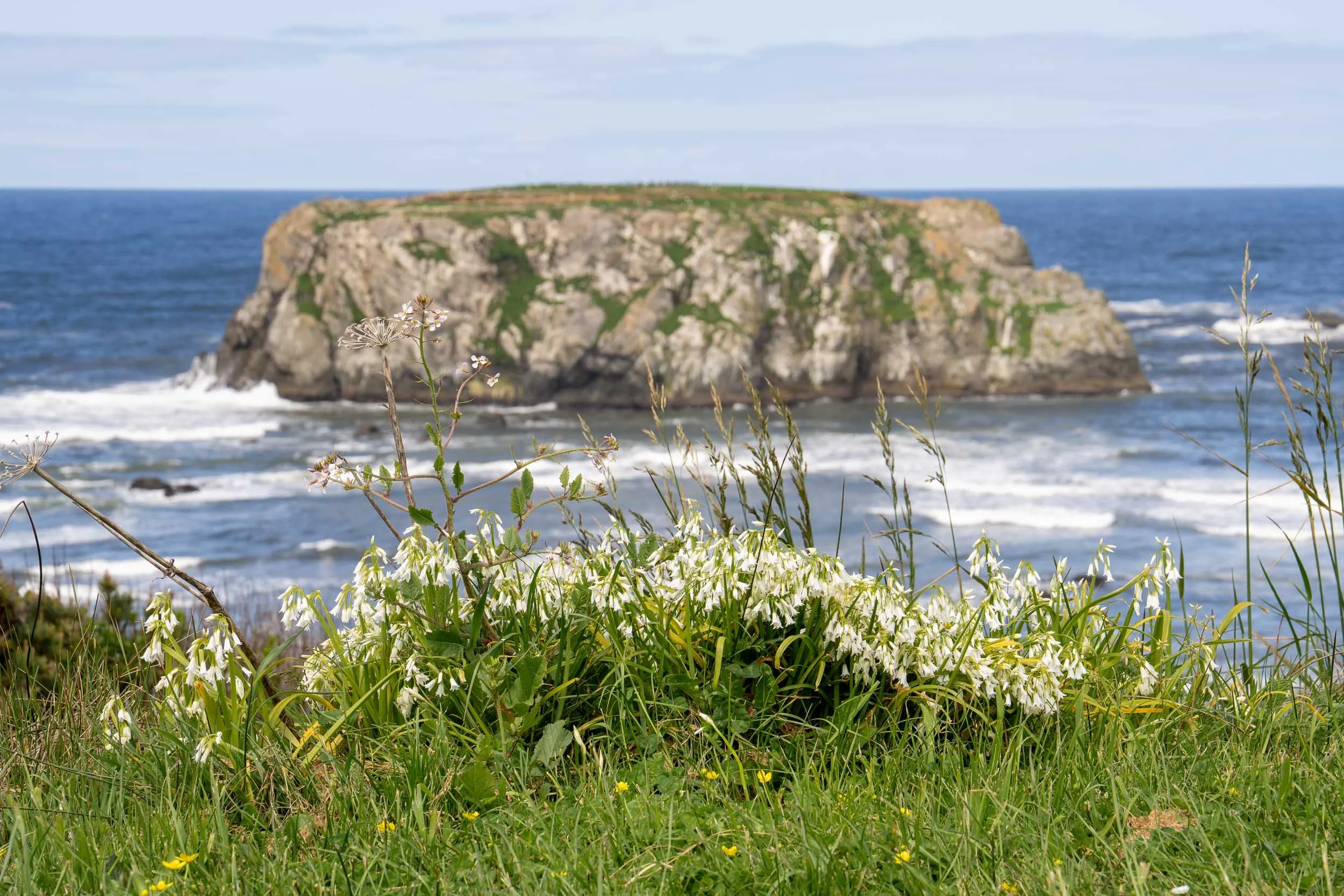
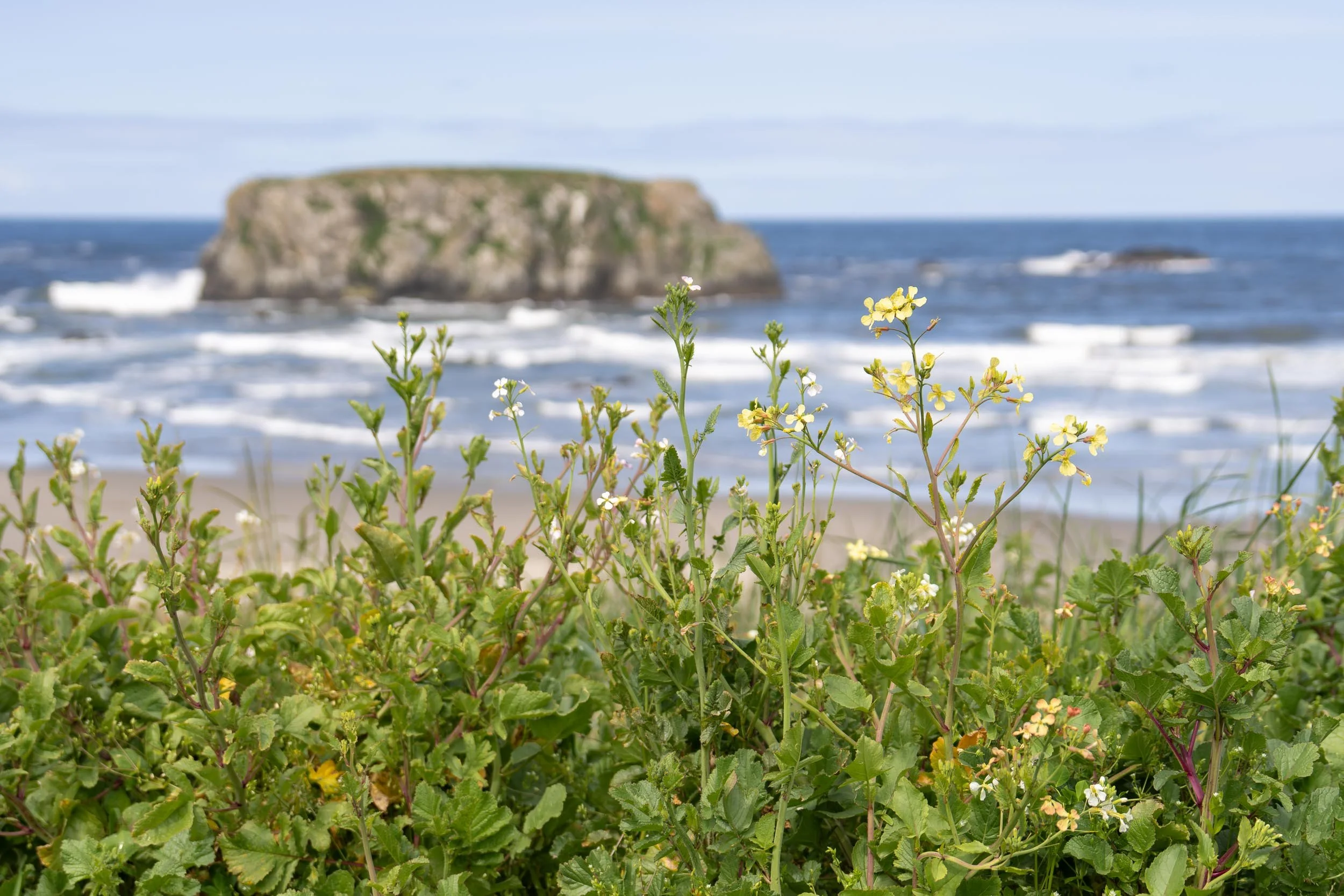
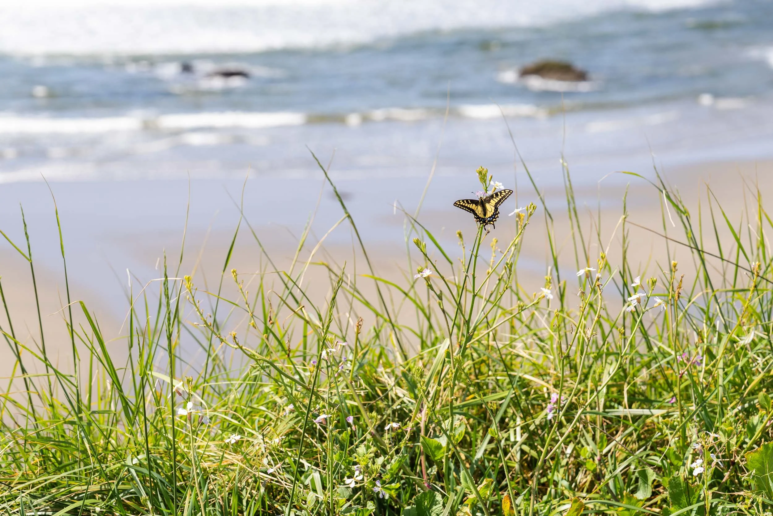
I headed towards the Bandon South Jetty Park to catch a view of the Coquille River Lighthouse. I thought about driving over to the lighthouse itself, but when I found a patch of wildflowers growing along the roadside, I knew I had the image that I wanted. Despite the mid-morning sun, a slight mist hung in the air, softening the colors and contrast.
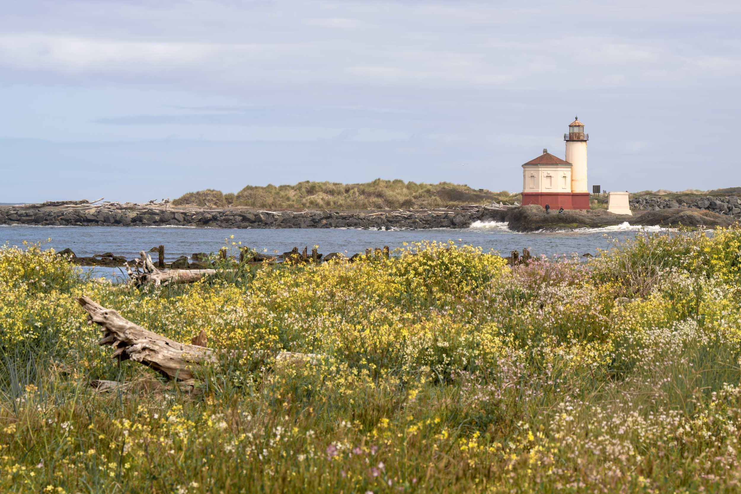
Wildflowers at the Coquille River Lighthouse, Bandon Beach
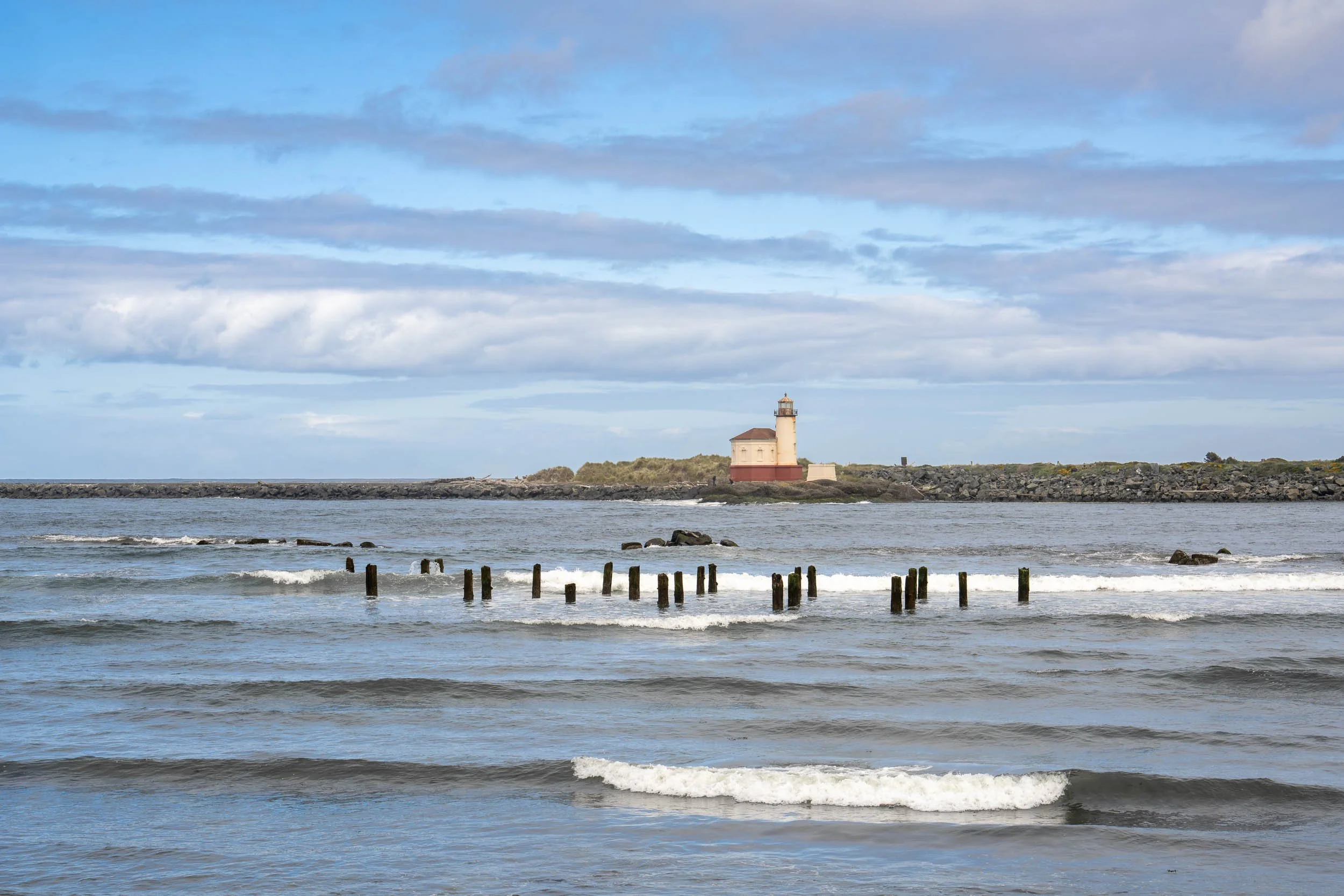
Coquille River Lighthouse, Bandon Beach
South Jetty Park, Bandon Beach
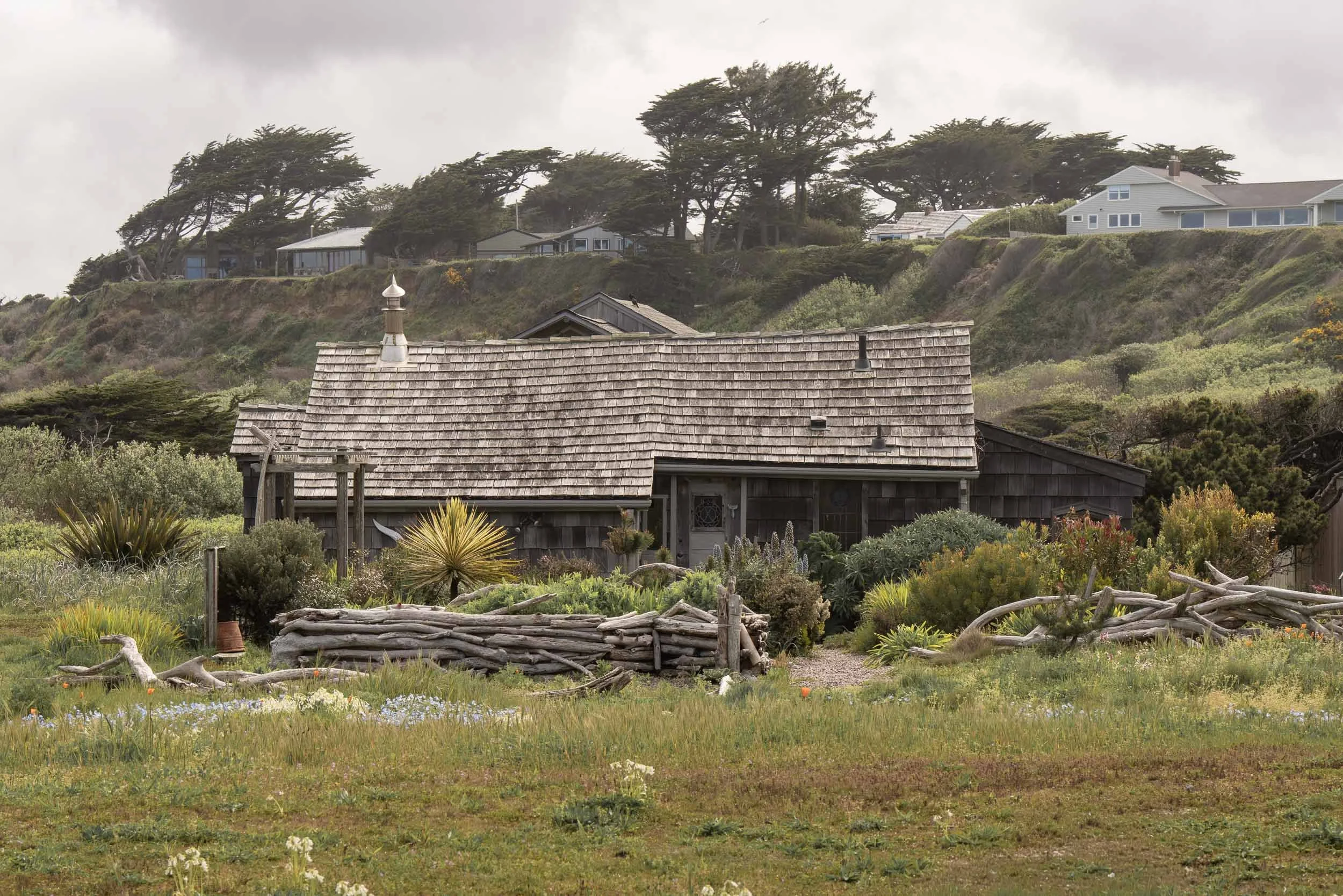
Weathered Coastal Cottage, Bandon Beach, OR
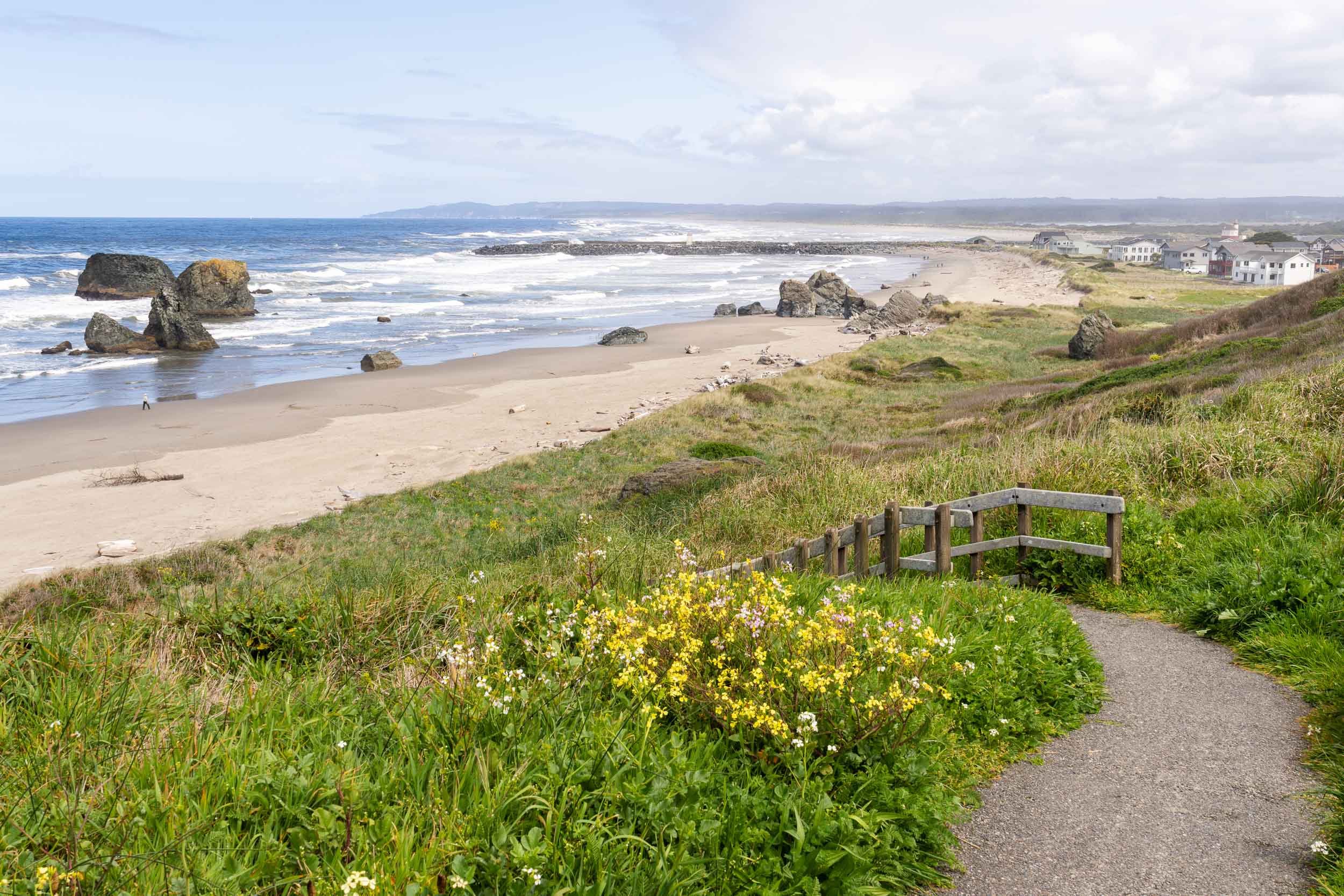
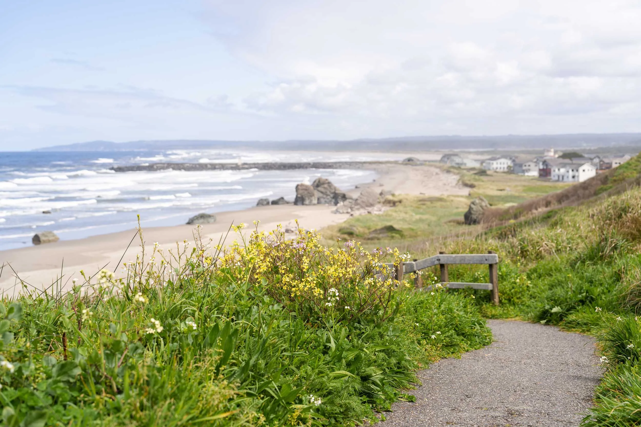
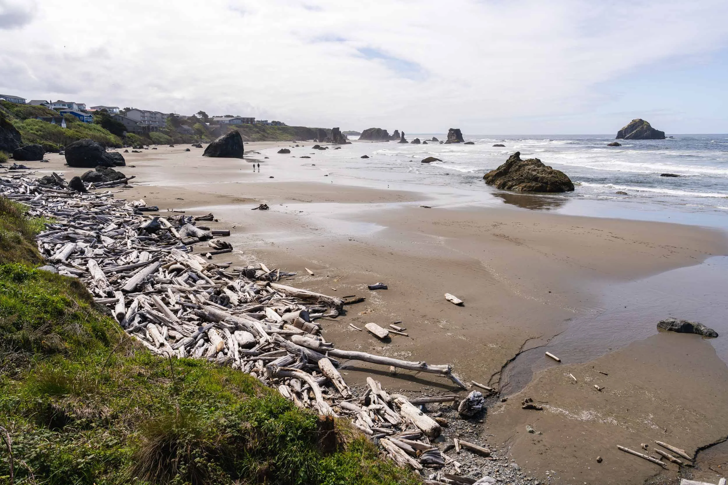
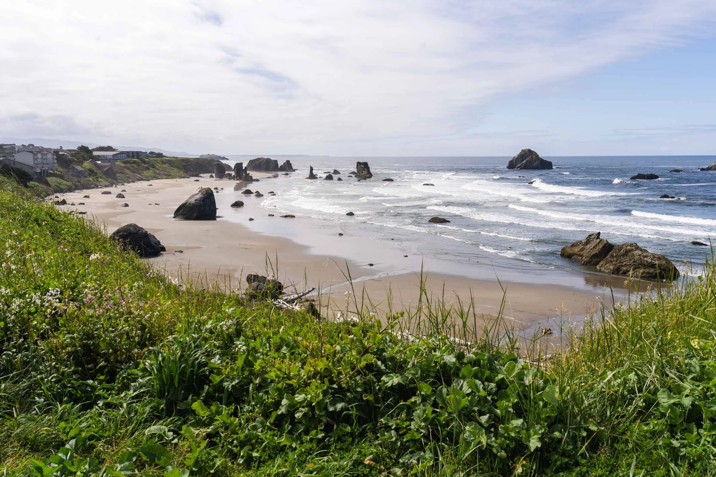
Leaving the lighthouse, I followed signs for the Bandon Scenic Loop, a five mile scenic drive showing off the rugged beauty of the Oregon coast. I found myself at the 8th Street Wayside, a small neighborhood park offering an overlook of the coast, benches, interpretive signs, and a trail to the beach. I made lunch, pulled out my binoculars, and sat for a while, enjoying the incredible view. After lunch, I wandered down to explore the beautiful path to the beach.
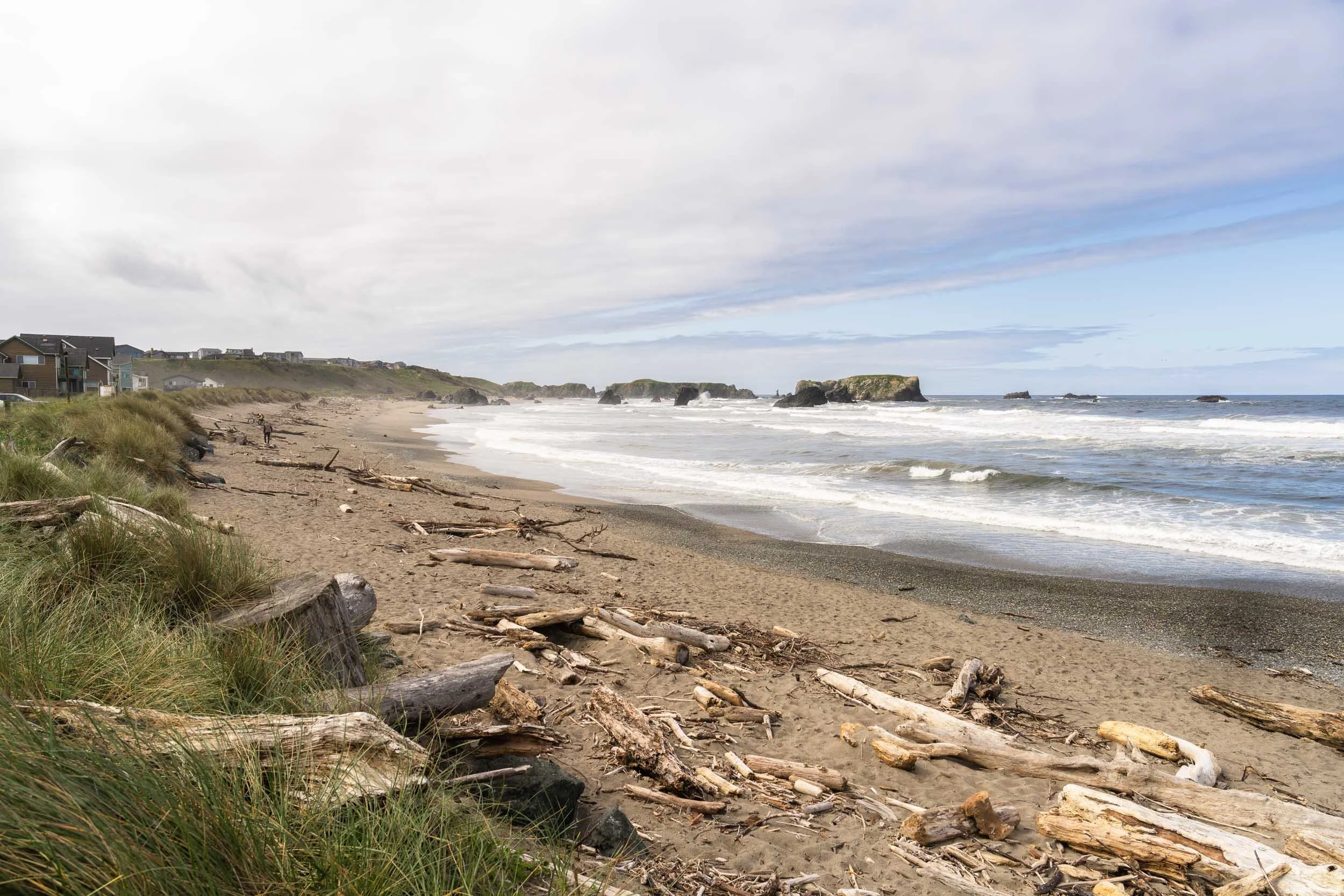
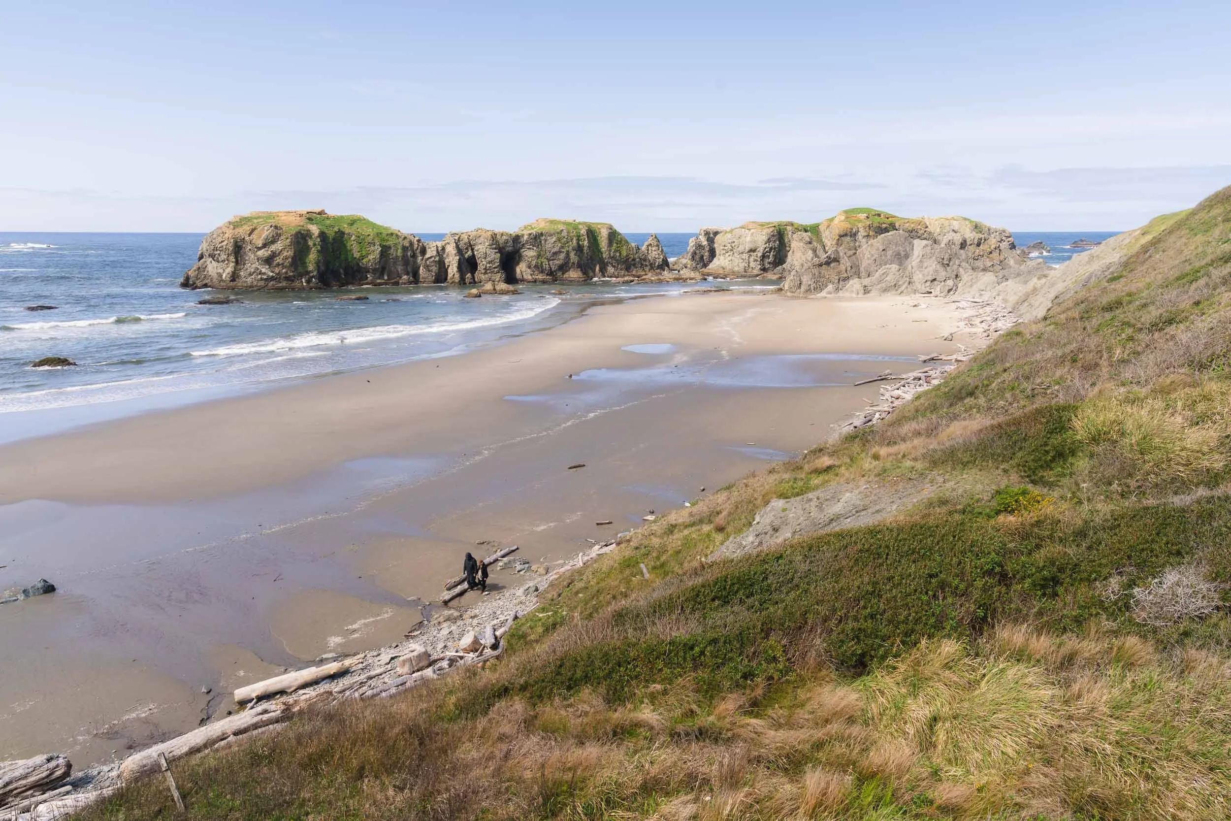
My last stop in Bandon before continuing my drives was to the well known photography hotspot of Coquille Beach. While I wish my timing allowed for me to be at this beautiful beach during golden hour, it was just as lovely in the mid-day sun. I learned on this trip that I really enjoy looking down on scenic views, allowing for more depth at the higher vantage point.
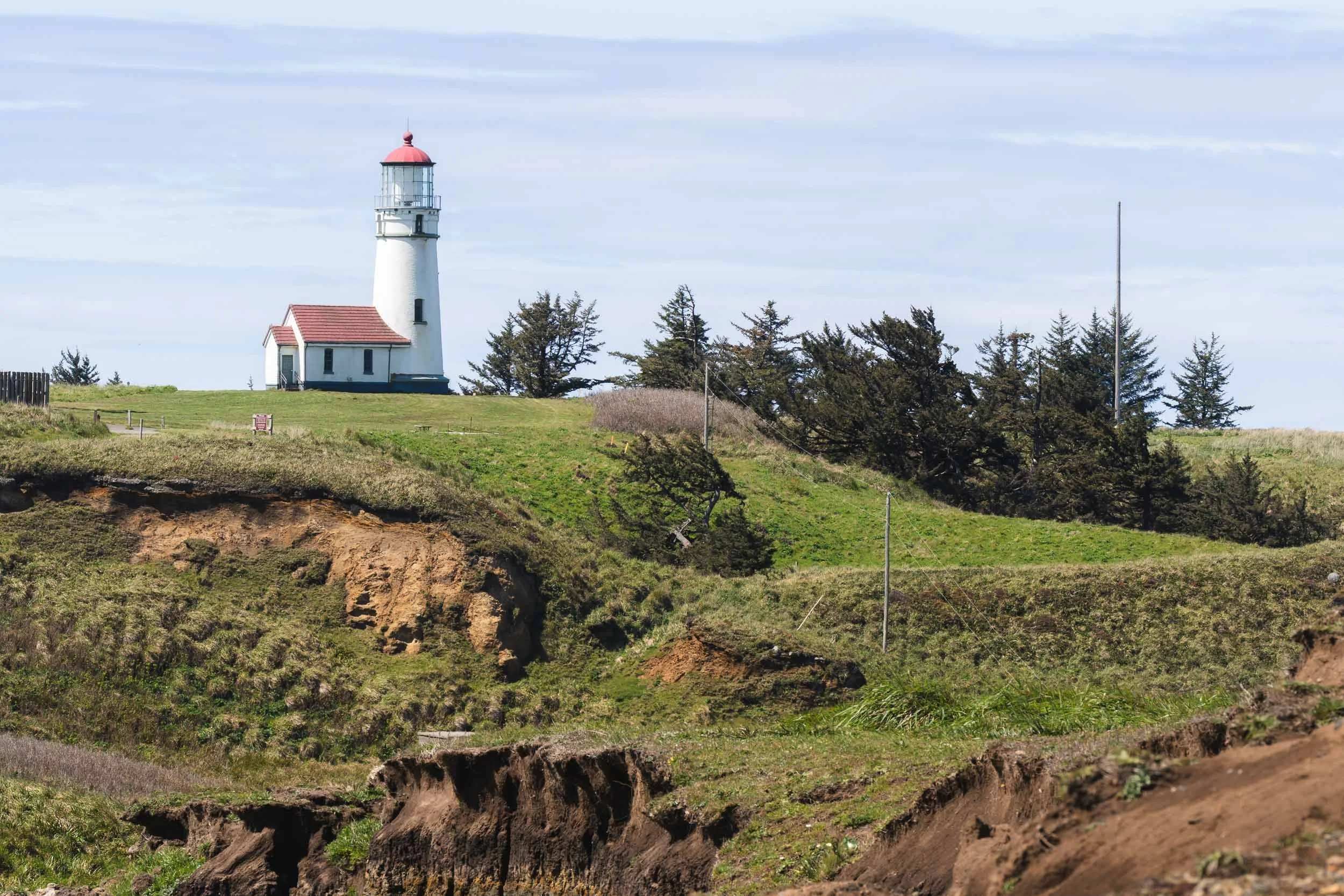
After exploring Bandon (and brainstorming a return trip 😁) I set off for my final stop of the day - the Cape Blanco Lighthouse. Sadly, I was visiting on the one day a week that the lighthouse was closed, so I was only able to stop for a view. A charming lighthouse, perched on the cliff of Cape Blanco State Park and offering a view of Needle Rock, it’s another spot on the National Register of Historic Places.
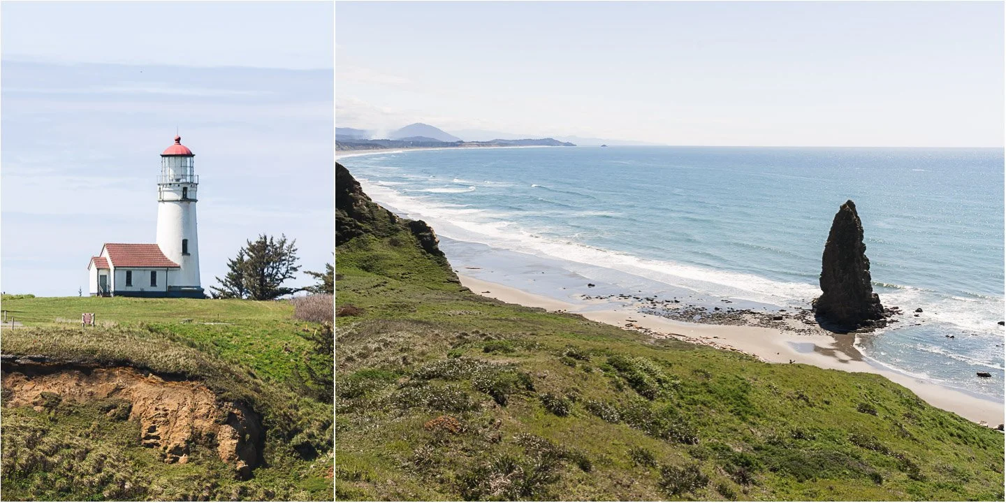
Cape Blanco Lighthouse and Needle Rock
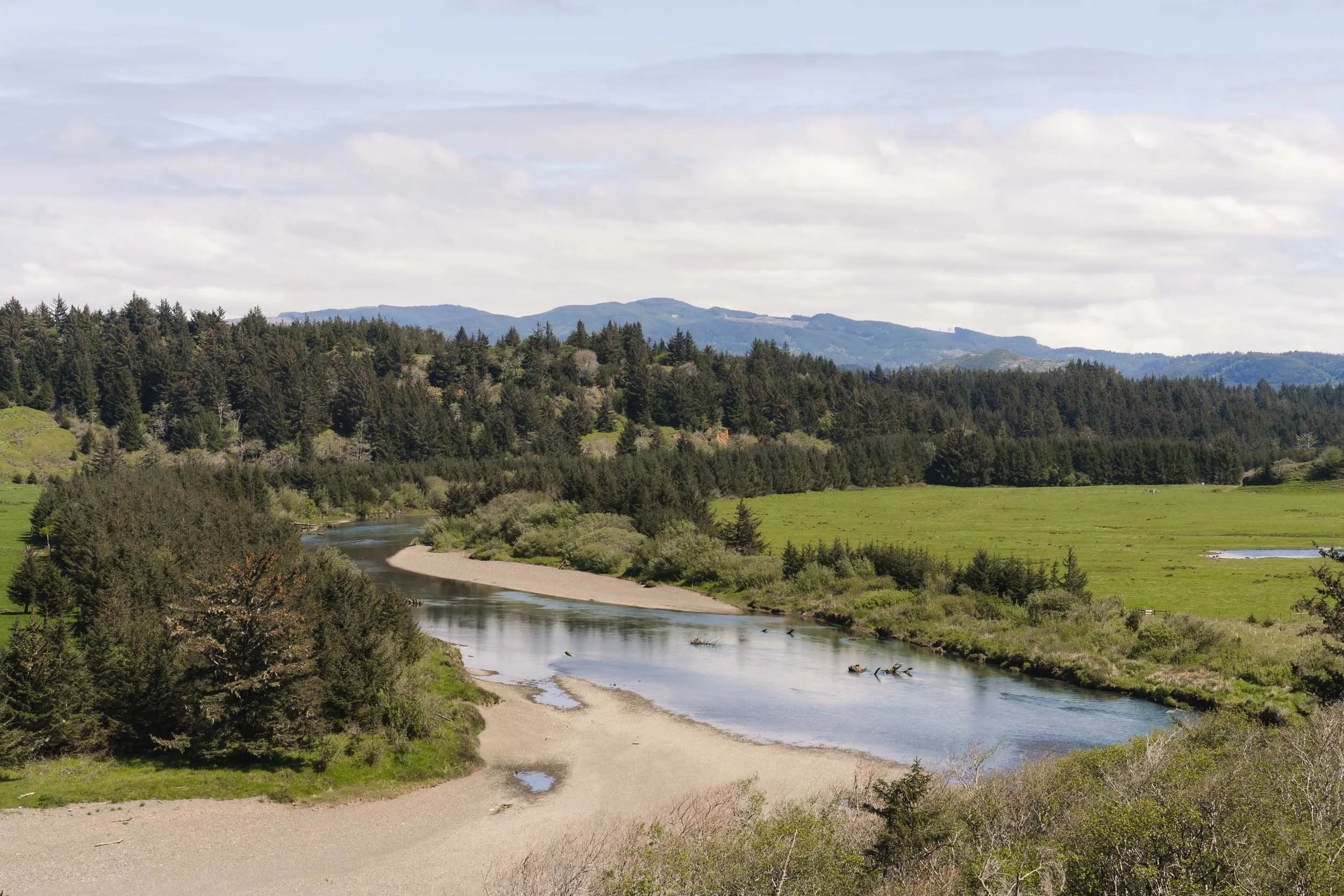
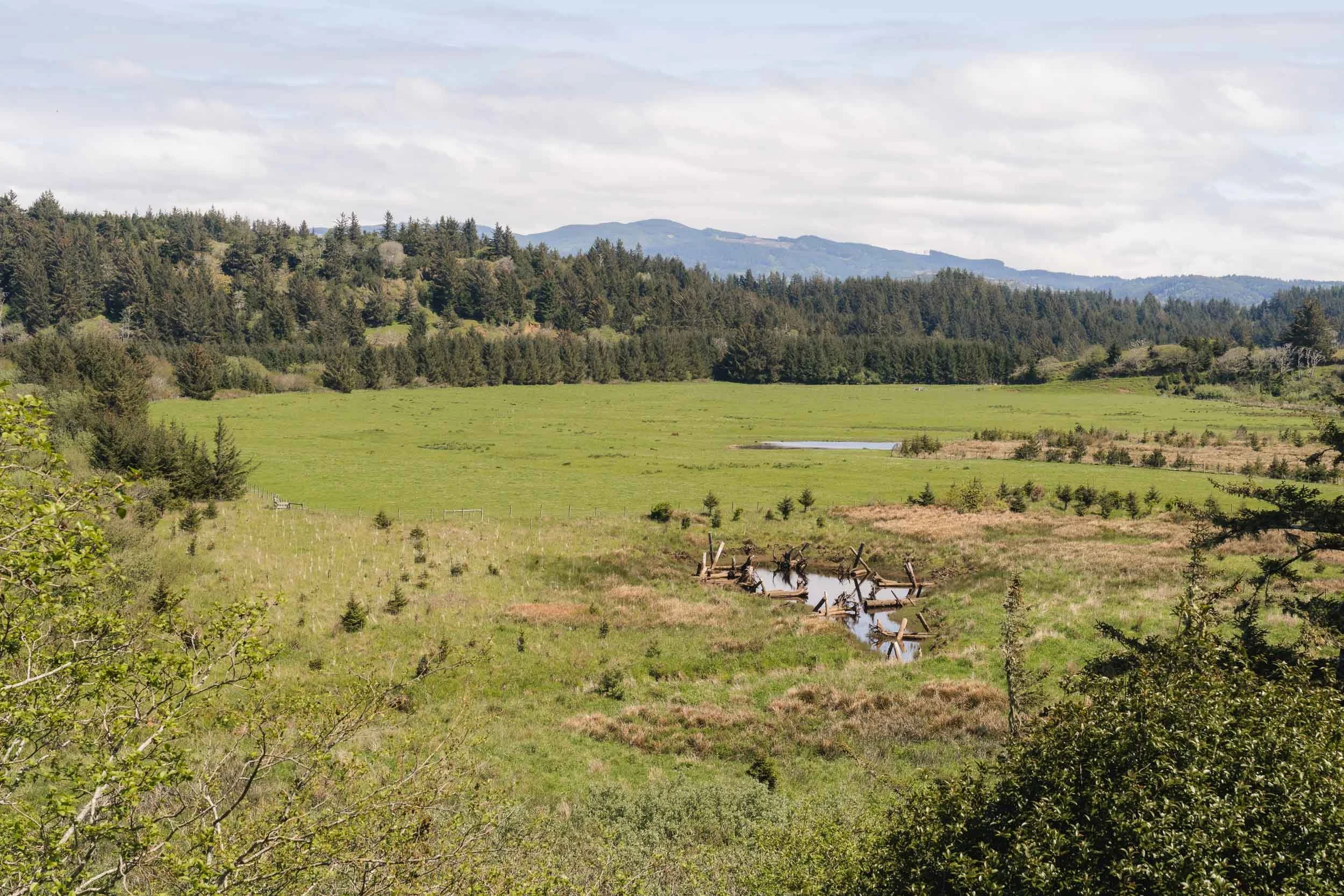
Leaving Cape Blanco State Park, I was struck by the beauty of Sullivan Gulch, and pulled off for a few photos. Looking more into the site, I discovered that its beauty is the result of a dedicated restoration project intended to bring life back to the floodplain.
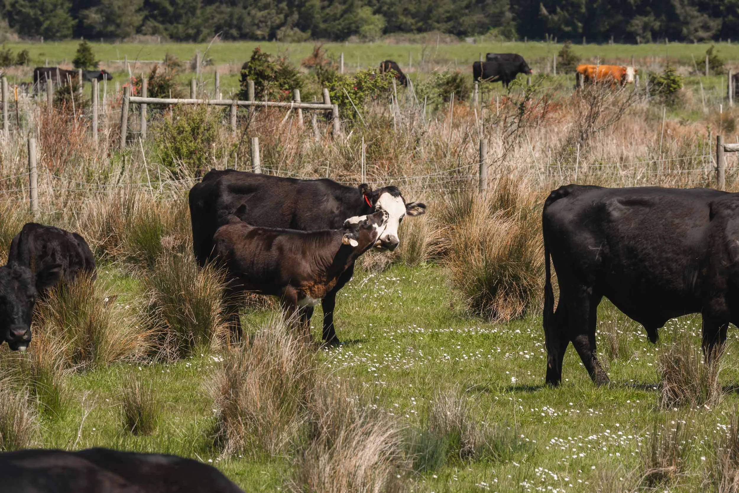
The primary purpose of the project was to restore fish passage and winter rearing habitat for coho salmon and other native fish on 31 acres of the Sixes River estuarine floodplain at Cape Blanco State Park. Coho salmon are listed as threatened in the Sixes River watershed, and winter rearing habitat is the primary limiting factor to their recovery. Other objectives included: the restoration of wetland habitat for shorebirds and amphibians; enhancement of wildlife habitat for migratory songbirds, small mammals, and elk; and improved livestock management on pasture leased to a local ranching family who raises cattle and sheep. The restoration project was developed by a group of local Stakeholders that included state and federal agencies, the local watershed council and soil and water conservation district, the Coquille Indian Tribe, and the McKenzie Family who leases pastureland from the Park. The Stakeholders saw the project as a great opportunity to demonstrate how watershed restoration and “working lands” (the family ranch) can co-exist on the landscape, and collectively contribute to the heritage and economy of the local community. - FishHabit.org
It’s no surprise that this spot caught my attention, seeing how much effort was put towards restoring it’s natural beauty.
After a long day of exploring the Oregon coast, it was time to put some miles behind me and get past the California border. I’m looking forward to waking up in the Redwoods tomorrow.
This post is part of a series documenting my move to Northern California.
Day 1: Olympic National Park: The First Stop on the Move to Silicon Valley
Day 2: The 101 South: Rugged Beauty of the Pacific Coast
Day 3: Southward Bound: From Cape Perpetua to Cape Blanco
Day 4: Redwoods and Fern Canyon: Wandering the Northern California Coast
Day 5: Point Arena Lighthouse: The Final Stop on the Way to Silicon Valley
Film Recap : April on the Road with the Canon ae-1